Wetlands: Introduction
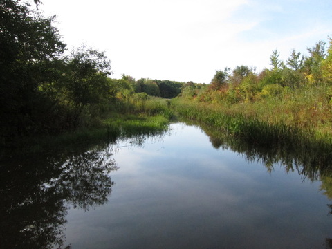
“Wetlands” are areas where water covers the soil, or saturates the soil often enough to alter soil characteristics so that only wetland-adapted plants can grow there. Biological wealth is concentrated in wetlands, often the most productive parts of a landscape. Open water, swamp and marsh habitats support a broad diversity of plants and animals that provided a resource base for native peoples.
The Jesuit missionaries who arrived in the 17th century described Onondaga Lake as a “great basin that is half dried up” (Bersani 1899). In fact the low lying surrounding topography, coupled with unique hydrogeology, combined to support an array of wetland habitats and notable diversity of plants. “There is an abundance of fresh water springs,” reported Jesuit Father Claude Dablon in 1656, describing the Mission site on the shores of Lake Gannentaa (Onondaga); “and, in a word, the spot seems as beautiful as it is convenient and advantageous” (Thwaites 1899).
Much of this area was forested, swampy, with openings where salt springs supported inland salt marshes and salt meadows. Swamps and upland forests were extensive (Faust 1983). Salt marsh cover was intermittent, localized around salt springs and alternating with swamps of cedar, tamarack, ash, and “soft [red] maple.” Salt and freshwater habitats appeared adjacent to one another, as suggested by Dablon in 1655:
The fountain, of which one makes very good salt, intersects a beautiful prairie [salt marsh or meadow?], surrounded by a wood of high forest trees. At 80 or 100 paces from this salt spring is seen another of freshwater, and these two opposites take birth from the bosom of the same hill (Thwaites 1899).
It appears that salt marshes shifted distribution, increasing coverage as forests were cleared and extensive salt extraction brought more brine to the surface and spread into vats to dry (W. Kappel pers. comm.). As many as 43,000 evaporation sheds once occurred around Onondaga Lake (Thompson 2002). Brine was distributed to these sheds in a process that probably included leaks and spills to some degree, thus greatly expanding the area where salt tolerant plants would have a competitive edge.
Forest clearing began early in the period of European settlement, as trees were cut to fuel fires that evaporated brine for the salt industry. “The state,” wrote one observer, “has wisely reserved a mile round the lake for fuel, for the benefit of future inhabitants” (Watson 1856).
“The wood on the reservation is cut without any regard to economy,” noted state senator and NYC mayor De Witt Clinton during his visit to Salina in 1810, “and no adequate measures have been taken to prevent this evil, or to provide for the growth of young timber” (Clinton 1849 p. 181). Trees were cut not only for fuel, but to make container barrels for salt, thus denuding the area (Faust 1983). Lowering the lake level by 2 feet in 1822, and subsequent filling in of the land for development, also eliminated wetland habitats.
“Black ash, some tamarack, and much cedar,” once covered the area near the mouth of Harbor Brook, near what is now the Inner Harbor and mouth of Onondaga Creek. Similarly the area near Carousel Mall bordered “the Great Cedar Swamp.” These conifer-dominated swamps graded into areas of hardwoods such as red/silver maple and green ash.
Although we do not have detailed lists of plants found in these areas at the time, we can surmise typical plant assemblages based on historical maps (Anonymous 1800, Geddes 1810), historical data for Onondaga County (e.g. Paine 1865, Goodrich 1912, McMullen 1993) and on current knowledge of plant communities. Here I list some of these communities, their typical physical attributes (soils, hydrology) and something of their historic presence in the area around Onondaga Lake. Then I list the plants found in each one, focusing on documented occurrences at or around Onondaga Lake. I also include species for which we have no record, but are common associates in that community type, especially if that species is found in Onondaga County today.
